 |
Alan's Sharrah Pool Loop|
29 July 2022|
|
 |
| START TIME |
DURATION |
DISTANCE |
PUB/ALE |
PRINTABLE MAP |
RE-PEREGRINATION |
| 7:45am |
4.25 hours |
10.1 km/6.3 miles |
Church House Inn / Dartmoor IPA / Dartmoor Jail Ale |
AlansSharrahPoolLoop.pdf |
22 March 2025 |
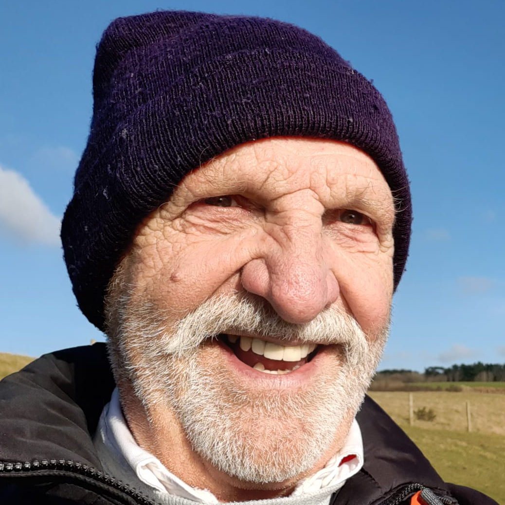
In memory of Alan
Sadly, three days after we completed this walk, Alan was involved in a motorcycle accident from which he did not survive. I will greatly miss my friend, neighbour and walking buddy, he always had an interesting tail to tell, wise counsel to offer and was very funny: he was simply a great person to spend time with. He thought, as do I, that there is no place better on earth to spend that time than dawdling along the paths, lanes and bridleways of Dartmoor, and, of course, stopping a while in one of The Moor's many excellent public houses. Cheers Alan: may you forever be with me as I continue my peregrinations. See here for more memories of Alan: alanbridgeman.muchloved.com
This walk consists of open moorland, canopied riverside paths and a small amount of tarred road. There is a challenging climb at the start of the walk and, later, a rather technical descent through woods, though there is a longer diversion that should lead to a gentler drop.
Upon achieving the summit out of Michelcombe, our original plan would have us follow the marked path ENE that leads eventually to Priddons and the road to Venford. Instead, soon after leaving the summit, we veered left on to a obvious, but unmapped, path that heads NE. The path petered out and we ended up heading north and had to retrace, eventually heading for the lower marked path where it comes close to the stream. From there head towards the marked slope then follow the path of least resistance all the way to the Venford carpark.
We stopped for repas on Bench Tor - after taking the right-hand path of the two heading north from the carpark; the path to the left would have served equally well. The views from Bench Tor are stunning, down to the reservoir on one side and a dramatic view of the wooded Dart valley, across to Dr Blackwell's drive, on the other.
We decided to take the direct route down to the river path by following the wall that descends through the trees. There is, apparently, a path through the ferns that would offer easier passage.
The Route
In addition, you can view the route on the Ordnance Survey site/app
Gallery
View an ARRAY of all the pictures, or click the buttons below:


![Pictures Of Our Walk]()